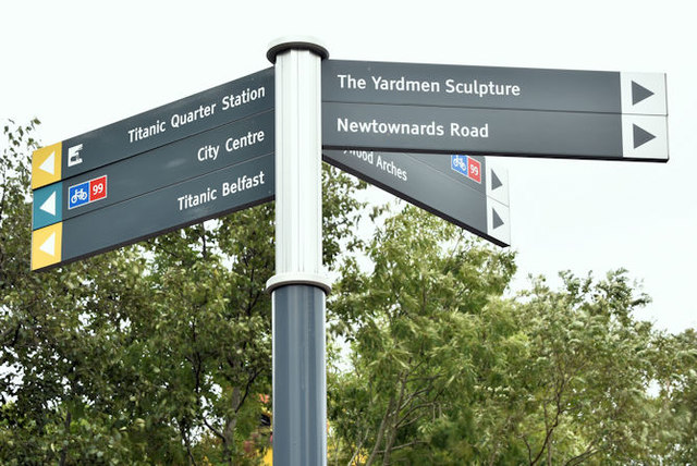
J3574 : Pedestrian direction signs, Titanic Quarter station, Belfast (September 2016)
taken 8 years ago, near to Belfast, Co Antrim, Northern Ireland
Bridge End station opened in May 1977. It served the Harland & Wolff shipyard and (to a lesser extent) the nearby Rupert Stanley College and replaced the halt at Ballymacarrett.
It was renamed Titanic Quarter on 28 March 2012. The platforms were extended towards Central earlier in the same year.
Note added 10 August 2017: a draft Belfast East Bank Development Strategy published by Belfast City Council in June 2017 envisages the closure of the present Titanic Quarter station and its replacement by a new structure, on a currently vacant site, between Bridge End and Middlepath Street Relocating the Titanic Halt to a more pivotal and better connected location will enhance public transport accessibility to East Bank as a whole, support higher density development and aid legibility for visitors to the Titanic Quarter. Onward journeys from the station on foot will be supported by public spaces adjacent to the station assisting orientation and wayfinding and the creation of a high quality route northwards to the SSE Arena and Titanic Quarter.
Note added 28 December 2017. there is the following application (22 November 2017) for planning permission LA04/2017/2646/F Environmental Improvement Public Realm Scheme consisting of new landscaping works including removal of existing planting, new tree and shrub planting, feature paving, off street car parking, safety railings, directional signage and street lighting improvements. Lands surrounding Ballymacarrett Road and Titanic Halt Train Station including Titanic Halt Underpass extending to Slip Road leading to Bridge Street [sic].
![Creative Commons Licence [Some Rights Reserved]](https://s1.geograph.org.uk/img/somerights20.gif)
|
· Find out How to reuse this image ·
Share:
|
|||||
| Start a discussion on J3574 | Suggest an update to this image | Contact the contributor | |||
- Grid Square
- J3574, 516 images (more nearby
 )
)
- Photographer
- Albert Bridge (find more nearby)
- Date Taken
- Wednesday, 28 September, 2016 (more nearby)
- Submitted
- Wednesday, 28 September, 2016
- Geographical Context
- Place (from Tags)
- Primary Subject of Photo
- Subject Location
-
Irish:
 J 354 746 [100m precision]
WGS84: 54:36.0943N 5:54.3336W - Camera Location
-
Irish: J 354 746
- View Direction
- NORTH (about 0 degrees)
Other Tags