2007
SE0358 : Shaft (dis)
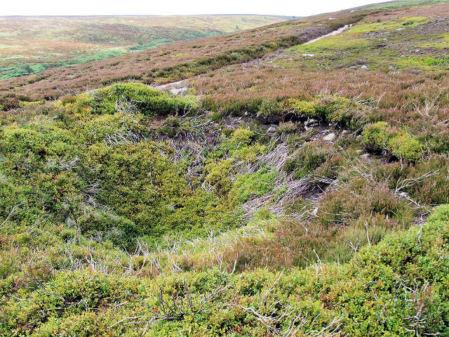
taken 17 years ago, near to Appletreewick, North Yorkshire, England
Shaft (dis)
The 1:25k map shows 'Shafts (dis)'. Presumably, therefore, this circular crater is a disused shaft of some sort, possibly lead mining.
 Map © Crown Copyright")
TIP: Click the map for more Large scale mapping
- Grid Square
- SE0358, 8 images (more nearby 🔍)
- Photographer
- David Spencer (more nearby)
- Date Taken
- Tuesday, 31 July, 2007 (more nearby)
- Submitted
- Thursday, 2 August, 2007
- Subject Location
-
OSGB36:
 SE 03482 58713 [1m precision]
WGS84: 54:1.4642N 1:56.9005W - Camera Location
-
OSGB36: SE 03482 58713
- View Direction
- West-southwest (about 247 degrees)