2016
SJ2245 : Pathway to Bryn Goleu
taken 8 years ago, 3 km from Pentredwr, Denbighshire/Sir Ddinbych, Wales
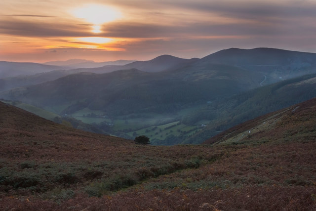
Pathway to Bryn Goleu
Heading down into the valley from Eglwyseg Mountain
 Map © Crown Copyright")
TIP: Click the map for more Large scale mapping
- Grid Square
- SJ2245, 31 images (more nearby 🔍)
- Photographer
- Geraint Roberts (more nearby)
- Date Taken
- Monday, 3 October, 2016 (more nearby)
- Submitted
- Monday, 3 October, 2016
- Subject Location
-
OSGB36:
 SJ 2268 4550 [10m precision]
WGS84: 53:0.0729N 3:9.2160W - Camera Location
-
OSGB36: SJ 2279 4558
- View Direction
- Southwest (about 225 degrees)