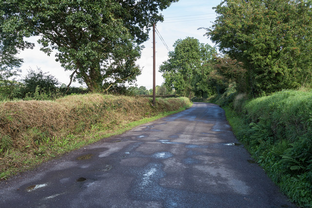
W4876 : Lane L2760
taken 8 years ago, near to Model Village, Co Cork, Ireland
![Creative Commons Licence [Some Rights Reserved]](https://s1.geograph.org.uk/img/somerights20.gif)
|
· Find out How to reuse this image ·
Share:
|
|||||
| Start a discussion on W4876 | Suggest an update to this image | Contact the contributor | |||
Loading map... (JavaScript required)
- Grid Square
- W4876, 2 images (more nearby
 )
)
- Photographer
- David P Howard (find more nearby)
- Date Taken
- Sunday, 18 September, 2016 (more nearby)
- Submitted
- Saturday, 15 October, 2016
- Geographical Context
- Primary Subject of Photo
- Subject Location
-
Irish:
 W 487 763 [100m precision]
WGS84: 51:56.2197N 8:44.7363W - Camera Location
-
Irish: W 487 763
- View Direction
- EAST (about 90 degrees)
This page has been viewed about 70 times.
View this location:
KML (Google Earth) ·
Google Maps ·
Bing Maps ·
Geograph Coverage Map ·
More Links for this image
·
Bing Maps ·
Geograph Coverage Map ·
More Links for this image