C0220 : View across Lough Beagh
taken 20 years ago, 7 km NW of Church Hill, Co Donegal, Ireland
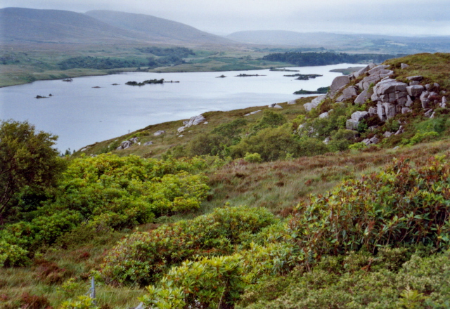
View across Lough Beagh
The part of the Lough northeast of Glenveagh Castle is called Lough Beagh (according to my map, that is), and it is along those banks that the path from the Visitor's Centre to the Castle leads you, if you care to walk the 7km on foot and do not want to go by shuttle bus.
![Creative Commons Licence [Some Rights Reserved]](https://s1.geograph.org.uk/img/somerights20.gif)
|
· Find out How to reuse this image ·
Share:
|
|||||
| Start a discussion on C0220 | Suggest an update to this image | Contact the contributor | |||
Loading map... (JavaScript required)
- Grid Square
- C0220, 78 images (more nearby
 )
)
- Photographer
- Corinna Schleiffer (find more nearby)
- Date Taken
- Monday, 26 July, 2004 (more nearby)
- Submitted
- Saturday, 10 September, 2005
- Category
- Lough (more nearby)
- Subject Location
-
Irish:
 C 023 209 [100m precision]
WGS84: 55:2.1733N 7:57.8399W - Camera Location
-
Irish: C 022 207
- View Direction
- North-northeast (about 22 degrees)
Image classification(about):
Geograph
This page has been viewed about 96 times.
View this location:
KML (Google Earth) ·
Google Maps ·
Bing Maps ·
Geograph Coverage Map ·
More Links for this image
·
Bing Maps ·
Geograph Coverage Map ·
More Links for this image