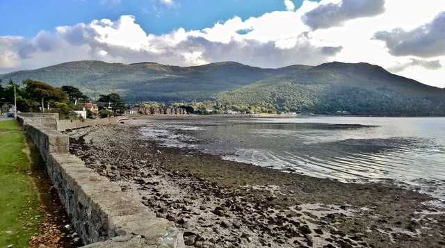
J1718 : Shore of Carlingford Lough looking towards Rostrevor
taken 8 years ago, near to Rostrevor, Co Down, Northern Ireland
![Creative Commons Licence [Some Rights Reserved]](https://s1.geograph.org.uk/img/somerights20.gif)
|
· Find out How to reuse this image ·
Share:
|
|||||
| Start a discussion on J1718 | Suggest an update to this image | Contact the contributor | |||
Loading map... (JavaScript required)
- Grid Square
- J1718, 89 images (more nearby
 )
)
- Photographer
- Chris Morgan (find more nearby)
- Date Taken
- Wednesday, 12 October, 2016 (more nearby)
- Submitted
- Thursday, 20 October, 2016
- Geographical Context
- Subject Location
-
Irish:
 J 178 180 [100m precision]
WGS84: 54:5.8764N 6:11.9779W - Camera Location
-
Irish: J 171 180
- View Direction
- EAST (about 90 degrees)
This page has been viewed about 76 times.
View this location:
KML (Google Earth) ·
Google Maps ·
Bing Maps ·
Geograph Coverage Map ·
More Links for this image
·
Bing Maps ·
Geograph Coverage Map ·
More Links for this image