2016
TQ5146 : Where's Angus?
taken 7 years ago, near to Chiddingstone Causeway, Kent, England
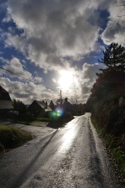
Where's Angus?
On the same day that Storm Angus hit the south coast, the sun was shining on Chiddingstone Causeway.
 Map © Crown Copyright")
TIP: Click the map for more Large scale mapping
- Grid Square
- TQ5146, 252 images (more nearby 🔍)
- Photographer
- Ian Paterson (more nearby)
- Date Taken
- Monday, 21 November, 2016 (more nearby)
- Submitted
- Tuesday, 22 November, 2016
- Subject Location
-
OSGB36:
 TQ 5177 4675 [10m precision]
WGS84: 51:11.9887N 0:10.2547E - Camera Location
-
OSGB36: TQ 5179 4678
- View Direction
- Southwest (about 225 degrees)