G7589 : Ardlougher near Ardara
taken 18 years ago, near to Ardara, Co Donegal, Ireland
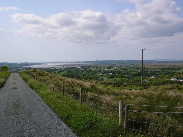
Ardlougher near Ardara
Ardara is in the middle distance with the Owentocker river estuary in the far distance
![Creative Commons Licence [Some Rights Reserved]](https://s1.geograph.org.uk/img/somerights20.gif)
|
· Find out How to reuse this image ·
Share:
|
|||||
| Start a discussion on G7589 | Suggest an update to this image | Contact the contributor | |||
Loading map... (JavaScript required)
- Grid Square
- G7589 (more nearby
 )
)
- Photographer
- Dennis Reynolds (find more nearby)
- Date Taken
- October 2006 (more nearby)
- Submitted
- Saturday, 11 August, 2007
- Category
- Road > Road (more nearby)
- Subject Location
-
Irish:
 G 75 89 [1000m precision]
WGS84: 54:45.1713N 8:22.8750W - Camera Location
-
Irish: G 753 892
- View Direction
- Northwest (about 315 degrees)
This page has been viewed about 183 times.
View this location:
KML (Google Earth) ·
Google Maps ·
Bing Maps ·
Geograph Coverage Map ·
More Links for this image
·
Bing Maps ·
Geograph Coverage Map ·
More Links for this image