2007
NY8243 : Killhope lead mine
taken 17 years ago, near to Lanehead, County Durham, England
This is 1 of 3 images, with title Killhope lead mine in this square
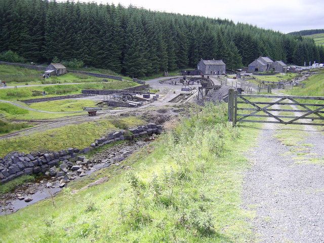
Killhope lead mine
 Map © Crown Copyright")
TIP: Click the map for more Large scale mapping
- Grid Square
- NY8243, 99 images (more nearby 🔍)
- Photographer
- george hurrell (more nearby)
- Date Taken
- Tuesday, 7 August, 2007 (more nearby)
- Submitted
- Saturday, 11 August, 2007
- Subject Location
-
OSGB36:
 NY 825 430 [100m precision]
WGS84: 54:46.9283N 2:16.3703W - Camera Location
-
OSGB36: NY 827 430
- View Direction
- WEST (about 270 degrees)