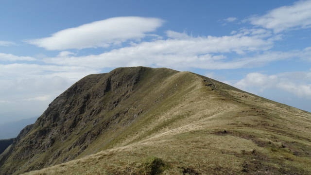
L7966 : Eastern spur leading up to Mweelrea, Co Mayo
taken 8 years ago, 4 km NE of Glassillaun, Co Galway, Ireland
![Creative Commons Licence [Some Rights Reserved]](https://s1.geograph.org.uk/img/somerights20.gif)
|
· Find out How to reuse this image ·
Share:
|
|||||
| Start a discussion on L7966 | Suggest an update to this image | Contact the contributor | |||
Loading map... (JavaScript required)
- Grid Square
- L7966 (more nearby
 )
)
- Photographer
- Colin Park (find more nearby)
- Date Taken
- Thursday, 12 May, 2016 (more nearby)
- Submitted
- Saturday, 10 December, 2016
- Geographical Context
- Primary Subject of Photo
- Subject Location
-
Irish:
 L 790 669 [100m precision]
WGS84: 53:38.3066N 9:49.7452W - Camera Location
-
Irish: L 793 669
- View Direction
- WEST (about 270 degrees)
This page has been viewed about 25 times.
View this location:
KML (Google Earth) ·
Google Maps ·
Bing Maps ·
Geograph Coverage Map ·
More Links for this image
·
Bing Maps ·
Geograph Coverage Map ·
More Links for this image