2007
NO3623 : The Edge of the World
taken 17 years ago, near to Bottomcraig, Fife, Scotland
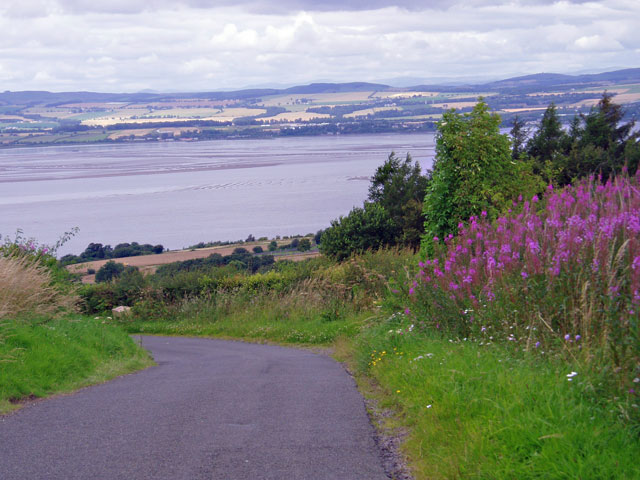
The Edge of the World
As you approach this bend, the road drops steeply towards the Tay.
You can see Mount Blair in the far distance to the left of centre, half way to the edge of the picture. Just to the right of centre are the Glen Shee Hills, the highest of which, in this shot, is Glas Maol.
You can see Mount Blair in the far distance to the left of centre, half way to the edge of the picture. Just to the right of centre are the Glen Shee Hills, the highest of which, in this shot, is Glas Maol.
 Map © Crown Copyright")
TIP: Click the map for more Large scale mapping
- Grid Square
- NO3623, 8 images (more nearby 🔍)
- Photographer
- Dave Ellison (more nearby)
- Date Taken
- Friday, 3 August, 2007 (more nearby)
- Submitted
- Saturday, 11 August, 2007
- Subject Location
-
OSGB36:
 NO 363 239 [100m precision]
WGS84: 56:24.2204N 3:1.9462W - Camera Location
-
OSGB36: NO 363 239
- View Direction
- North-northwest (about 337 degrees)