2016
NN1259 : Pap Of Glencoe
taken 7 years ago, near to Caolasnacon, Highland, Scotland
Pap Of Glencoe
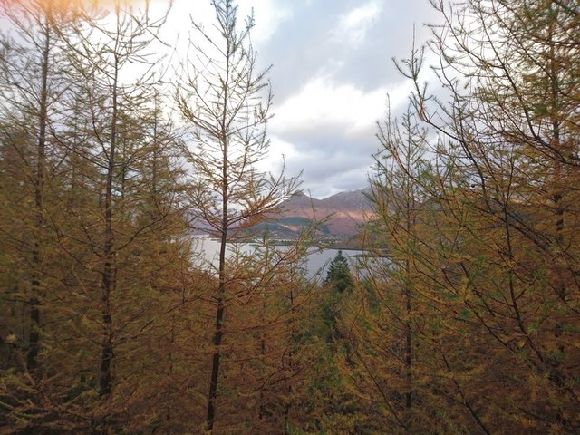
View looking from above St Johns on a new forestry track east towards the Pap Of Glencoe. A view hidden for over 60 years because of dense forest plantation.
 Map © Crown Copyright")
TIP: Click the map for more Large scale mapping
- Grid Square
- NN1259, 24 images (more nearby 🔍)
- Photographer
- Cyril (more nearby)
- Date Taken
- Saturday, 5 November, 2016 (more nearby)
- Submitted
- Monday, 12 December, 2016
- Subject Location
-
OSGB36:
 NN 1251 5943 [10m precision]
WGS84: 56:41.3324N 5:3.7779W - Camera Location
-
OSGB36: NN 0643 5851
- View Direction
- EAST (about 90 degrees)