J3996 : Lane, Glenoe village
taken 17 years ago, near to Glenoe, Co Antrim, Northern Ireland
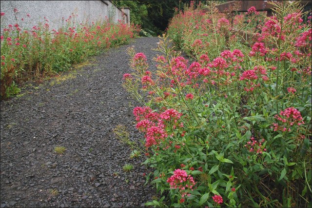
Lane, Glenoe village
This lane runs from the main street to Glenoe glen. The view is towards the glen with the old Mauds on the right. The last of the valerian is still in flower.
![Creative Commons Licence [Some Rights Reserved]](https://s1.geograph.org.uk/img/somerights20.gif)
|
· Find out How to reuse this image ·
Share:
|
|||||
|
There are 2 posts in a
discussion on J3996 (preview on the left) |
Suggest an update to this image | Contact the contributor | |||
Loading map... (JavaScript required)
- Grid Square
- J3996, 170 images (more nearby
 )
)
- Photographer
- Albert Bridge (find more nearby)
- Date Taken
- Tuesday, 14 August, 2007 (more nearby)
- Submitted
- Tuesday, 14 August, 2007
- Category
- Lane (more nearby)
- Subject Location
-
Irish:
 J 39 96 [1000m precision]
WGS84: 54:47.8173N 5:49.9023W - Camera Location
-
Irish: J 39 96
- View Direction
- Northwest (about 315 degrees)
Image classification(about):
Geograph
This page has been viewed about 43 times.
View this location:
KML (Google Earth) ·
Google Maps ·
Bing Maps ·
Geograph Coverage Map ·
More Links for this image
·
Bing Maps ·
Geograph Coverage Map ·
More Links for this image