M1505 : The Burren Way
taken 17 years ago, near to Craggagh, Co Clare, Ireland
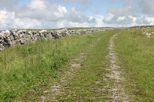
The Burren Way
The Burren Way as it crests the hill below Slieve Elva.
![Creative Commons Licence [Some Rights Reserved]](https://s1.geograph.org.uk/img/somerights20.gif)
|
· Find out How to reuse this image ·
Share:
|
|||||
| Start a discussion on M1505 | Suggest an update to this image | Contact the contributor | |||
Loading map... (JavaScript required)
- Grid Square
- M1505, 2 images (more nearby
 )
)
- Photographer
- Mark Duncan (find more nearby)
- Date Taken
- Sunday, 8 July, 2007 (more nearby)
- Submitted
- Monday, 20 August, 2007
- Category
- Track > Track (more nearby)
- Subject Location
-
Irish:
 M 152 059 [100m precision]
WGS84: 53:5.8341N 9:15.9990W - Camera Location
-
Irish: M 152 058
- View Direction
- Northeast (about 45 degrees)
This page has been viewed about 99 times.
View this location:
KML (Google Earth) ·
Google Maps ·
Bing Maps ·
Geograph Coverage Map ·
More Links for this image
·
Bing Maps ·
Geograph Coverage Map ·
More Links for this image