2016
NC2467 : Loch a' Gheodha Ruaidh
taken 8 years ago, near to Cnoc a' Gheodha Ruaidh [hill or Mountain], Highland, Great Britain
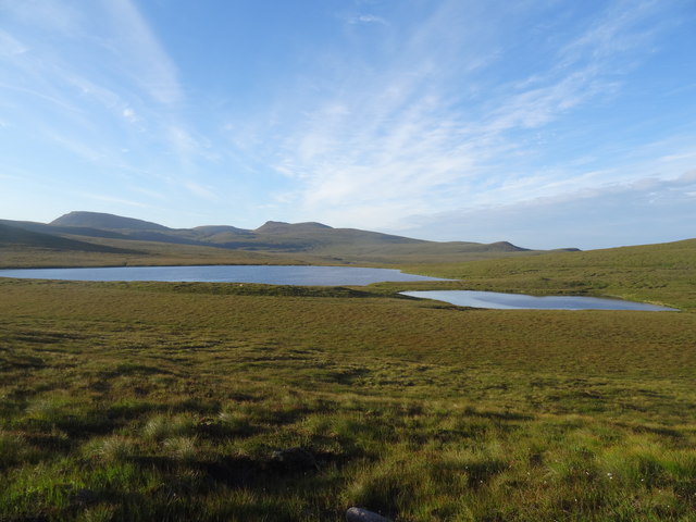
Loch a' Gheodha Ruaidh
Parph moor, relatively dry ground, but I'd imagine it would be very boggy in other months.
 Map © Crown Copyright")
TIP: Click the map for more Large scale mapping
- Grid Square
- NC2467, 4 images (more nearby 🔍)
- Photographer
- Chris (more nearby)
- Date Taken
- Wednesday, 10 August, 2016 (more nearby)
- Submitted
- Tuesday, 28 March, 2017
- Subject Location
-
OSGB36:
 NC 2464 6751 [10m precision]
WGS84: 58:33.6098N 5:0.9708W - Camera Location
-
OSGB36: NC 2437 6781
- View Direction
- Southeast (about 135 degrees)