2007
SX3292 : Canal basin
taken 17 years ago, near to Boyton, Cornwall, England
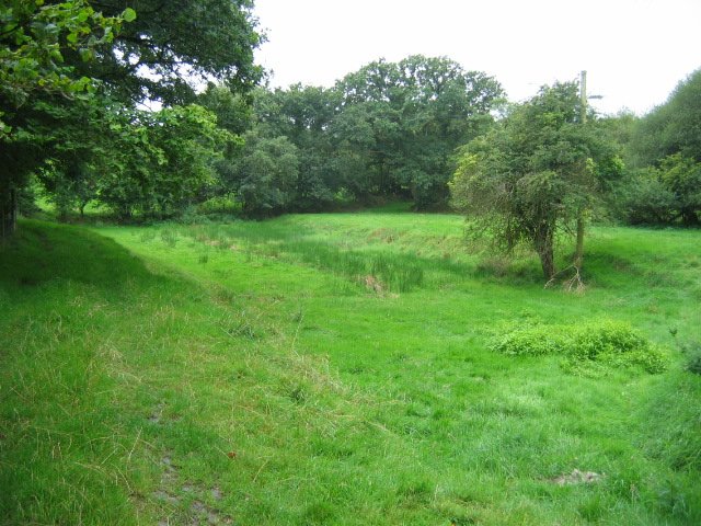
Canal basin
The depression shown in the picture was a basin on the Launceston branch of the Bude Canal, which was constructed in the 1820s and ceased to operate in about 1891. More excellent info on this is available at Link
 Map © Crown Copyright")
TIP: Click the map for more Large scale mapping
- Grid Square
- SX3292, 7 images (more nearby 🔍)
- Photographer
- Gary McNulty (more nearby)
- Date Taken
- Tuesday, 14 August, 2007 (more nearby)
- Submitted
- Friday, 24 August, 2007
- Subject Location
-
OSGB36:
 SX 326 922 [100m precision]
WGS84: 50:42.3224N 4:22.3087W - Camera Location
-
OSGB36: SX 326 923
- View Direction
- SOUTH (about 180 degrees)