2007
NT7609 : Farm buildings at Upper Hindhope
taken 17 years ago, near to Upper Hindhope, Scottish Borders, Scotland
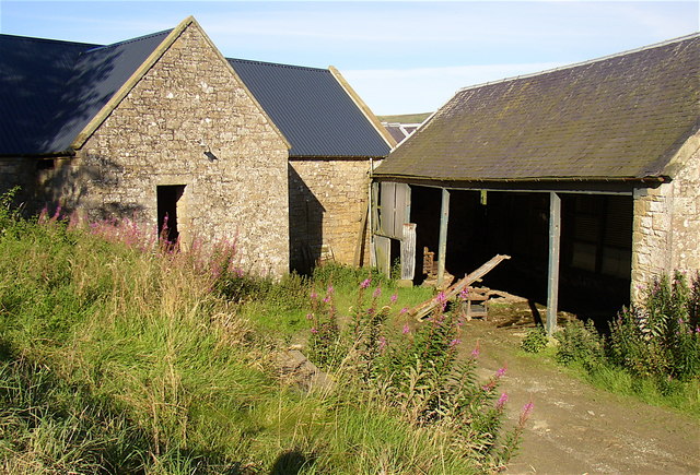
Farm buildings at Upper Hindhope
 Map © Crown Copyright")
TIP: Click the map for more Large scale mapping
- Grid Square
- NT7609, 12 images (more nearby 🔍)
- Photographer
- Kenneth Ross (more nearby)
- Date Taken
- Wednesday, 22 August, 2007 (more nearby)
- Submitted
- Monday, 27 August, 2007
- Subject Location
-
OSGB36:
 NT 760 097 [100m precision]
WGS84: 55:22.8465N 2:22.7718W - Camera Location
-
OSGB36: NT 760 096
- View Direction
- North-northeast (about 22 degrees)