2007
NS2484 : Clynder Burn
taken 17 years ago, near to Clynder, Argyll And Bute, Scotland
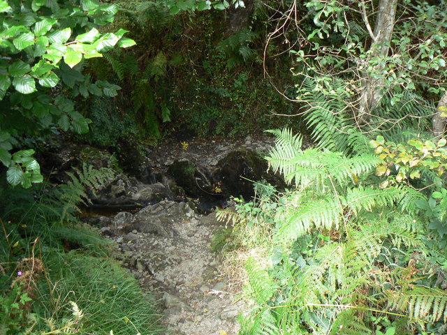
Clynder Burn
Part of the Path from Clynder up to the Quarry and the Forestry Track (see NS2483 : Clynder, Slate quarry).
 Map © Crown Copyright")
TIP: Click the map for more Large scale mapping
- Grid Square
- NS2484, 9 images (more nearby 🔍)
- Photographer
- william craig (more nearby)
- Date Taken
- Wednesday, 29 August, 2007 (more nearby)
- Submitted
- Thursday, 30 August, 2007
- Subject Location
-
OSGB36:
 NS 245 841 [100m precision]
WGS84: 56:1.0776N 4:48.9922W - Camera Location
-
OSGB36: NS 245 840
- View Direction
- North-northeast (about 22 degrees)