2017
SD3874 : Embankment near Rougholme Point
taken 7 years ago, near to Kents Bank, Cumbria, England
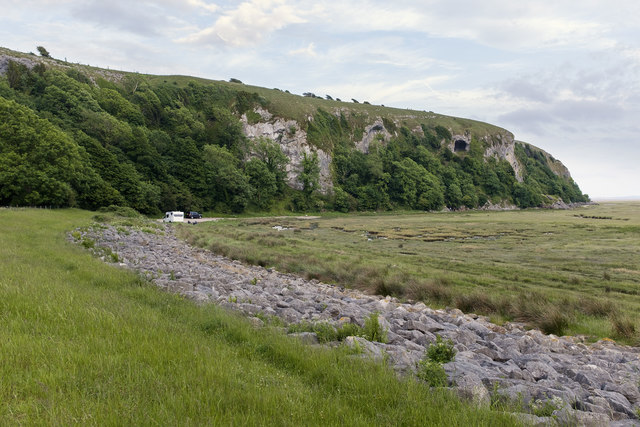
Embankment near Rougholme Point
The embankment protects agricultural land to the north
 Map © Crown Copyright")
TIP: Click the map for more Large scale mapping
- Grid Square
- SD3874, 34 images (more nearby 🔍)
- Photographer
- Nigel Corby (more nearby)
- Date Taken
- Thursday, 1 June, 2017 (more nearby)
- Submitted
- Sunday, 4 June, 2017
- Subject Location
-
OSGB36:
 SD 388 741 [100m precision]
WGS84: 54:9.5433N 2:56.2487W - Camera Location
-
OSGB36: SD 388 741
- View Direction
- Southeast (about 135 degrees)