2017
SD9617 : Drain, Blackstone Edge Moor
taken 7 years ago, near to Summit, Rochdale, England
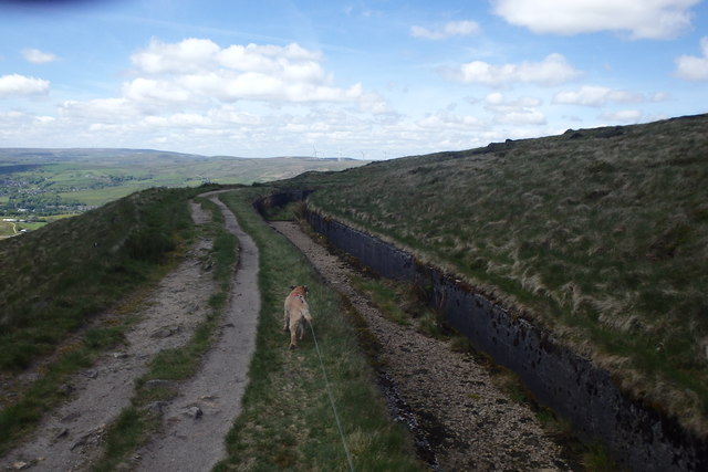
Drain, Blackstone Edge Moor
On The Pennine Way. The wind was strong enough to force me into the dried up drain for shelter at lunch time.
 Map © Crown Copyright")
TIP: Click the map for more Large scale mapping
- Grid Square
- SD9617, 69 images (more nearby 🔍)
- Photographer
- Michael Graham (more nearby)
- Date Taken
- Tuesday, 23 May, 2017 (more nearby)
- Submitted
- Tuesday, 6 June, 2017
- Subject Location
-
OSGB36:
 SD 9665 1739 [10m precision]
WGS84: 53:39.1798N 2:3.1296W - Camera Location
-
OSGB36: SD 9666 1734
- View Direction
- North-northwest (about 337 degrees)