2015
TQ4565 : Underbridge
taken 9 years ago, near to Orpington, Bromley, England
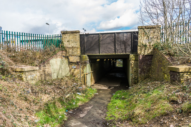
Underbridge
Footpath underbridge north of Orpington Station.
 Map © Crown Copyright")
TIP: Click the map for more Large scale mapping
- Grid Square
- TQ4565, 258 images (more nearby 🔍)
- Photographer
- Ian Capper (more nearby)
- Date Taken
- Tuesday, 3 March, 2015 (more nearby)
- Submitted
- Tuesday, 6 June, 2017
- Subject Location
-
OSGB36:
 TQ 454 659 [100m precision]
WGS84: 51:22.4520N 0:5.2634E - Camera Location
-
OSGB36: TQ 453 659
- View Direction
- East-northeast (about 67 degrees)