2007
ST5324 : Mayer's Plantation
taken 17 years ago, near to Podimore, Somerset, England
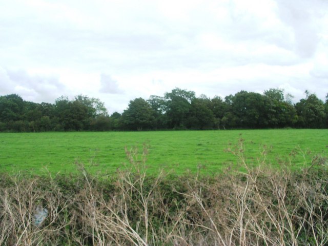
Mayer's Plantation
View from services access across field to the plantation
 Map © Crown Copyright")
TIP: Click the map for more Large scale mapping
- Grid Square
- ST5324, 17 images (more nearby 🔍)
- Photographer
- Damon Knight (more nearby)
- Date Taken
- Saturday, 1 September, 2007 (more nearby)
- Submitted
- Sunday, 2 September, 2007
- Subject Location
-
OSGB36:
 ST 53934 24863 [1m precision]
WGS84: 51:1.2770N 2:39.4893W - Camera Location
-
OSGB36: ST 53813 24962
- View Direction
- Southeast (about 135 degrees)