2017
NO0594 : High on Meall an Lundain
taken 7 years ago, near to Meall an Lundain [hill or Mountain], Aberdeenshire, Great Britain
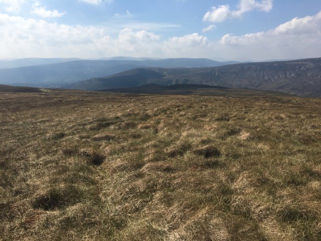
High on Meall an Lundain
Descending west from the summit towards Glen Derry.
 Map © Crown Copyright")
TIP: Click the map for more Large scale mapping
- Grid Square
- NO0594, 3 images (more nearby 🔍)
- Photographer
- Callum Black (more nearby)
- Date Taken
- Friday, 26 May, 2017 (more nearby)
- Submitted
- Friday, 23 June, 2017
- Subject Location
-
OSGB36:
 NO 0569 9457 [10m precision]
WGS84: 57:1.9531N 3:33.3300W - Camera Location
-
OSGB36: NO 0569 9457
- View Direction
- West-southwest (about 247 degrees)