S1005 : View towards Knockmeal
taken 7 years ago, 6 km N of Cappoquin, Co Waterford, Ireland
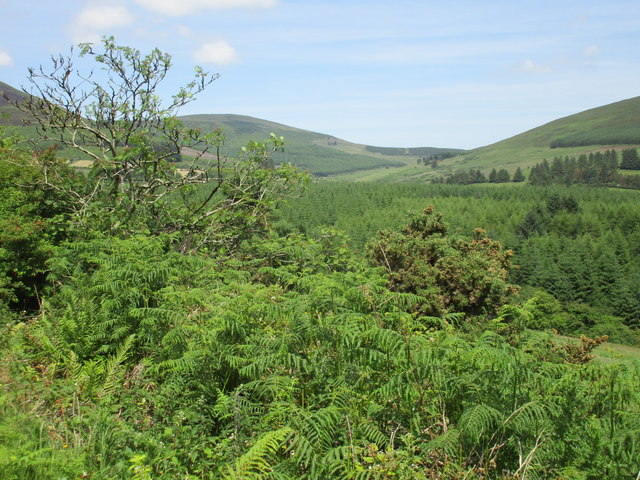
View towards Knockmeal
Knockmeal reaches 560 metres and stands on the Waterford/Tipperary border.
![Creative Commons Licence [Some Rights Reserved]](https://s1.geograph.org.uk/img/somerights20.gif)
|
· Find out How to reuse this image ·
Share:
|
|||||
| Start a discussion on S1005 | Suggest an update to this image | Contact the contributor | |||
Loading map... (JavaScript required)
- Grid Square
- S1005, 4 images (more nearby
 )
)
- Photographer
- Jonathan Thacker (find more nearby)
- Date Taken
- Tuesday, 20 June, 2017 (more nearby)
- Submitted
- Sunday, 2 July, 2017
- Geographical Context
- Subject Location
-
Irish:
 S 109 057 [100m precision]
WGS84: 52:12.2562N 7:50.4689W - Camera Location
-
Irish: S 105 050
- View Direction
- North-northeast (about 22 degrees)
This page has been viewed about 17 times.
View this location:
KML (Google Earth) ·
Google Maps ·
Bing Maps ·
Geograph Coverage Map ·
More Links for this image
·
Bing Maps ·
Geograph Coverage Map ·
More Links for this image