2017
NZ3147 : Mark's Lane
taken 7 years ago, near to West Rainton, County Durham, England
This is 1 of 2 images, with title Mark's Lane in this square
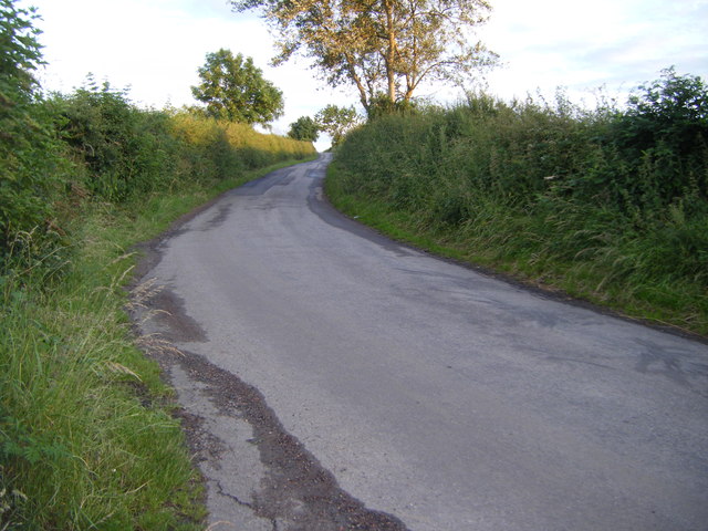
Mark's Lane
 Map © Crown Copyright")
TIP: Click the map for more Large scale mapping
- Grid Square
- NZ3147, 19 images (more nearby 🔍)
- Photographer
- brian clark (more nearby)
- Date Taken
- Friday, 7 July, 2017 (more nearby)
- Submitted
- Wednesday, 12 July, 2017
- Subject Location
-
OSGB36:
 NZ 3191 4754 [10m precision]
WGS84: 54:49.3018N 1:30.2939W - Camera Location
-
OSGB36: NZ 3189 4769
- View Direction
- SOUTH (about 180 degrees)