2014
NX3644 : Ruined Building
taken 10 years ago, near to Monreith Mains, Dumfries And Galloway, Scotland
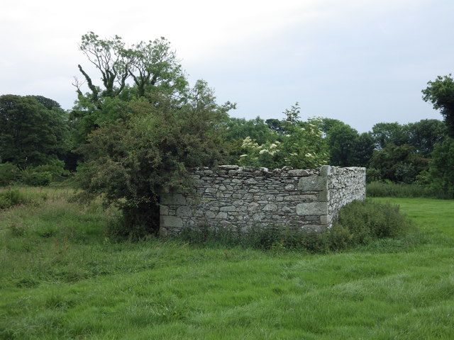
Ruined Building
Below Drumtroddan Stones.
 Map © Crown Copyright")
TIP: Click the map for more Large scale mapping
- Grid Square
- NX3644, 68 images (more nearby 🔍)
- Photographer
- Jon Alexander (more nearby)
- Date Taken
- Thursday, 26 June, 2014 (more nearby)
- Submitted
- Sunday, 16 July, 2017
- Subject Location
-
OSGB36:
 NX 3644 4409 [10m precision]
WGS84: 54:45.9013N 4:32.6264W - Camera Location
-
OSGB36: NX 3644 4411
- View Direction
- SOUTH (about 180 degrees)