C6602 : Aughlish Townland
taken 17 years ago, 5 km SE of Feeny, Co Londonderry, Northern Ireland
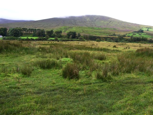
Aughlish Townland
Varied ground here for grazing.
![Creative Commons Licence [Some Rights Reserved]](https://s1.geograph.org.uk/img/somerights20.gif)
|
· Find out How to reuse this image ·
Share:
|
|||||
| Start a discussion on C6602 | Suggest an update to this image | Contact the contributor | |||
Loading map... (JavaScript required)
- Grid Square
- C6602, 2 images (more nearby
 )
)
- Photographer
- Kenneth Allen (find more nearby)
- Date Taken
- Tuesday, 4 September, 2007 (more nearby)
- Submitted
- Wednesday, 5 September, 2007
- Category
- Countryside (more nearby)
- Subject Location
-
Irish:
 C 665 025 [100m precision]
WGS84: 54:51.9490N 6:57.9038W - Camera Location
-
Irish: C 665 026
- View Direction
- South-southwest (about 202 degrees)
This page has been viewed about 58 times.
View this location:
KML (Google Earth) ·
Google Maps ·
Bing Maps ·
Geograph Coverage Map ·
More Links for this image
·
Bing Maps ·
Geograph Coverage Map ·
More Links for this image