2014
NX4457 : Bishop Burn
taken 10 years ago, 3 km from Carsegowan, Dumfries And Galloway, Scotland
This is 1 of 7 images, with title Bishop Burn in this square
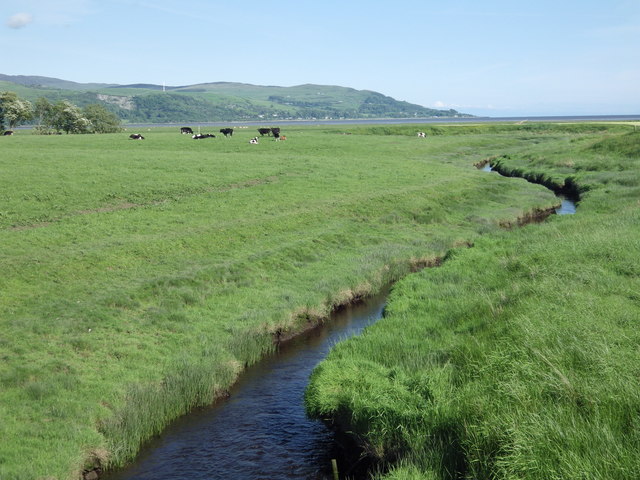
Bishop Burn
Winding its way to the River Cree and Wigtown Sands.
 Map © Crown Copyright")
TIP: Click the map for more Large scale mapping
- Grid Square
- NX4457, 16 images (more nearby 🔍)
- Photographer
- Jon Alexander (more nearby)
- Date Taken
- Tuesday, 3 June, 2014 (more nearby)
- Submitted
- Wednesday, 26 July, 2017
- Subject Location
-
OSGB36:
 NX 4446 5773 [10m precision]
WGS84: 54:53.4022N 4:25.5949W - Camera Location
-
OSGB36: NX 4435 5783
- View Direction
- Southeast (about 135 degrees)