2007
SD4819 : Clay Pits
taken 17 years ago, near to Croston, Lancashire, England
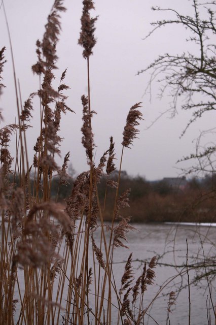
Clay Pits
Lakes created by digging clay for the old Brickworks
 Map © Crown Copyright")
TIP: Click the map for more Large scale mapping
- Grid Square
- SD4819, 26 images (more nearby 🔍)
- Photographer
- pat tack (more nearby)
- Date Taken
- Thursday, 8 February, 2007 (more nearby)
- Submitted
- Thursday, 6 September, 2007
- Subject Location
-
OSGB36:
 SD 485 198 [100m precision]
WGS84: 53:40.3492N 2:46.8067W - Camera Location
-
OSGB36: SD 485 198