2017

HY5401 : The Kame of Camy

taken 7 years ago, near to Upper Sanday, Mainland, Orkney Islands, Scotland

This is 1 of 2 images, with title The Kame of Camy in this square
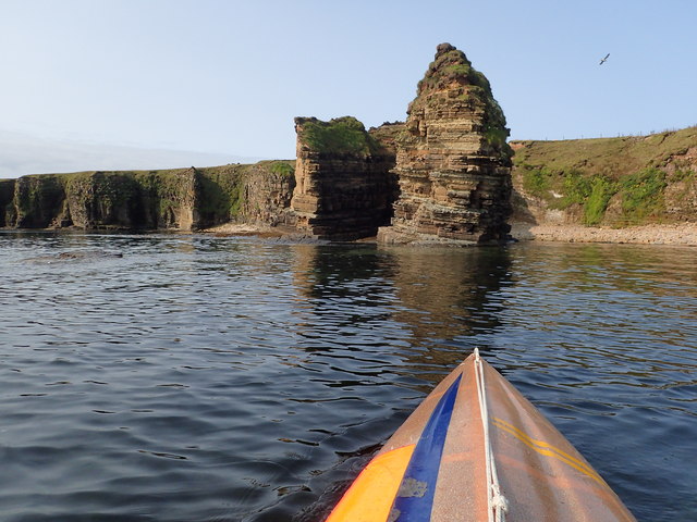
The Kame of Camy
The Kame of Camy
It has taken me 6 years to get to the square good and proper. Taken of the buttress seen in Link the outer edge of which is in the square where I am sat in my kayak.
It can all be seen in Link but the stack (probably called King of Camy) is just out of sight in this picture.

Creative Commons Licence [Some Rights Reserved]   © Copyright Derek Mayes and licensed for reuse under this Creative Commons Licence.
Geographical Context: Geological interest Estuary, Marine Primary Subject: Sea Shore
1:50,000 Modern Day Landranger(TM) Map © Crown Copyright
+
+
1:50,000 Modern Day Landranger(TM) Map © Crown Copyright
TIP: Click the map for more Large scale mapping
Grid Square
HY5401, 4 images   (more nearby 🔍)
Photographer
Derek Mayes   (more nearby)
Date Taken
Monday, 21 August, 2017   (more nearby)
Submitted
Tuesday, 22 August, 2017
Subject Location
OSGB36: geotagged! HY 5402 0195 [10m precision]
WGS84: 58:54.1435N 2:47.9867W
Camera Location
OSGB36: geotagged! HY 5416 0198
View Direction
West-southwest (about 247 degrees)
Clickable map
+
NW N NE
W Go E
SW S SE
Image Type (about): geograph  · First in 5 Years (TPoint) (about)
This page has been viewed about 46 times
You are not logged in login | register