2017
NF7534 : Loch Fada Flood
taken 7 years ago, near to Sniseabhal, South Uist & Benbecula, Na h-Eileanan an Iar, Scotland
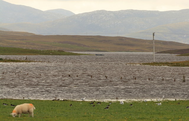
Loch Fada Flood
Loch Fada seen across flooded fields and the flooded Sniseabhal road after very heavy overnight rain.
 Map © Crown Copyright")
TIP: Click the map for more Large scale mapping
- Grid Square
- NF7534, 12 images (more nearby 🔍)
- Photographer
- Rupert Fleetingly (more nearby)
- Date Taken
- Wednesday, 23 August, 2017 (more nearby)
- Submitted
- Saturday, 26 August, 2017
- Subject Location
-
OSGB36:
 NF 7536 3486 [10m precision]
WGS84: 57:17.3118N 7:23.4360W - Camera Location
-
OSGB36: NF 7504 3577
- View Direction
- South-southeast (about 157 degrees)