2017
TM3692 : Cycle Route and Footpath, Ellingham
taken 7 years ago, near to Ellingham, Norfolk, England
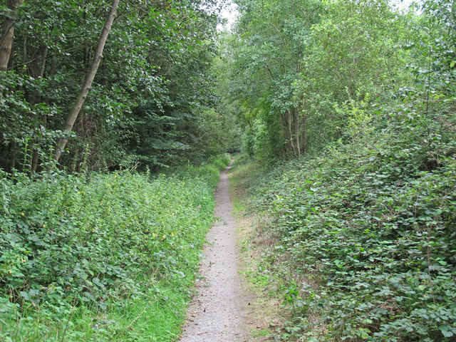
Cycle Route and Footpath, Ellingham
A little less busy than the A143 road that it runs almost parallel to.
 Map © Crown Copyright")
TIP: Click the map for more Large scale mapping
- Grid Square
- TM3692, 74 images (more nearby 🔍)
- Photographer
- Roger Jones (more nearby)
- Date Taken
- Saturday, 26 August, 2017 (more nearby)
- Submitted
- Tuesday, 29 August, 2017
- Subject Location
-
OSGB36:
 TM 3610 9232 [10m precision]
WGS84: 52:28.6619N 1:28.5179E - Camera Location
-
OSGB36: TM 36057 92284
- View Direction
- Northeast (about 45 degrees)