W4554 : Towards the Bandon River
taken 7 years ago, 4 km S of Farranhavane, Co Cork, Ireland
Towards the Bandon River
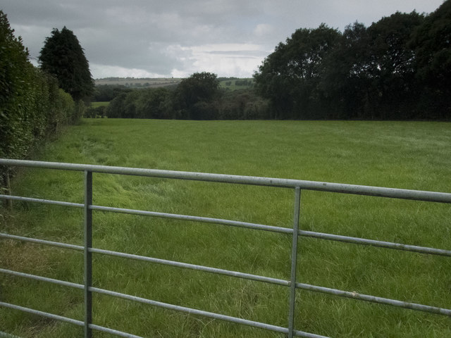
The low point seen here beyond the field marks the position of the Bandon River. The slope immediately beyond is also in the square.
![Creative Commons Licence [Some Rights Reserved]](https://s1.geograph.org.uk/img/somerights20.gif)
|
· Find out How to reuse this image ·
Share:
|
|||||
| Start a discussion on W4554 | Suggest an update to this image | Contact the contributor | |||
Loading map... (JavaScript required)
- Grid Square
- W4554 (more nearby
 )
)
- Photographer
- Neville Goodman (find more nearby)
- Date Taken
- Wednesday, 30 August, 2017 (more nearby)
- Submitted
- Wednesday, 30 August, 2017
- Geographical Context
- Primary Subject of Photo
- Subject Location
-
Irish:
 W 454 547 [100m precision]
WGS84: 51:44.5594N 8:47.4715W - Camera Location
-
Irish: W 454 541
- View Direction
- NORTH (about 0 degrees)
This page has been viewed about 11 times.
View this location:
KML (Google Earth) ·
Google Maps ·
Bing Maps ·
Geograph Coverage Map ·
More Links for this image
·
Bing Maps ·
Geograph Coverage Map ·
More Links for this image