2015
SX6784 : The Moorland Edge
taken 9 years ago, near to Frenchbeer, Devon, England
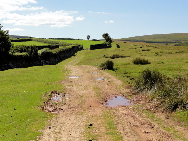
The Moorland Edge
At the boundary between rough grassland and improved fields, mostly for grazing and silage. The track is part of the Two Moors Way.
 Map © Crown Copyright")
TIP: Click the map for more Large scale mapping
- Grid Square
- SX6784, 40 images (more nearby 🔍)
- Photographer
- Tony Atkin (more nearby)
- Date Taken
- Saturday, 8 August, 2015 (more nearby)
- Submitted
- Thursday, 14 September, 2017
- Subject Location
-
OSGB36:
 SX 6771 8434 [10m precision]
WGS84: 50:38.6213N 3:52.3421W - Camera Location
-
OSGB36: SX 6773 8450
- View Direction
- SOUTH (about 180 degrees)