2017
TQ0605 : The Paddock (2)
taken 7 years ago, near to Angmering, West Sussex, England
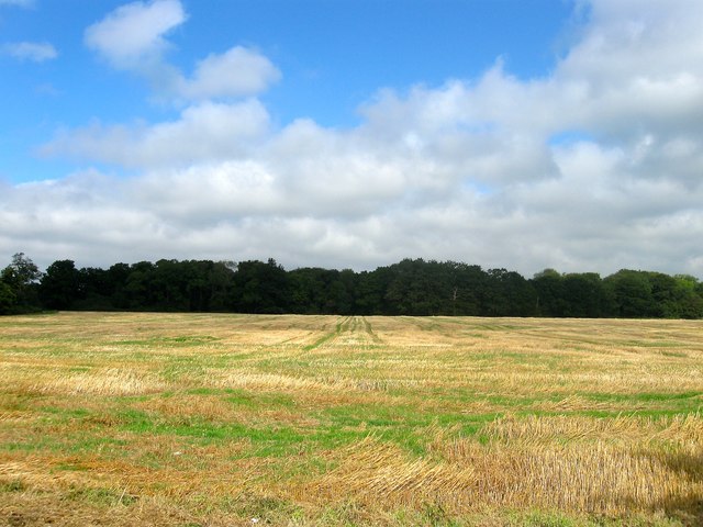
The Paddock (2)
The name of the field according to Poling's 1838 tithe map viewed from the south. See also TQ0605 : The Paddock (1) for a view from the west. Hammerpot Copse is the wood to the north.
 Map © Crown Copyright")
TIP: Click the map for more Large scale mapping
- Grid Square
- TQ0605, 40 images (more nearby 🔍)
- Photographer
- Simon Carey (more nearby)
- Date Taken
- Sunday, 17 September, 2017 (more nearby)
- Submitted
- Saturday, 23 September, 2017
- Subject Location
-
OSGB36:
 TQ 0653 0591 [10m precision]
WGS84: 50:50.5751N 0:29.2981W - Camera Location
-
OSGB36: TQ 0653 0575
- View Direction
- NORTH (about 0 degrees)