2017
NN1445 : Path on east side of Allt Mheuran
taken 7 years ago, near to Glenceitlein, Highland, Scotland
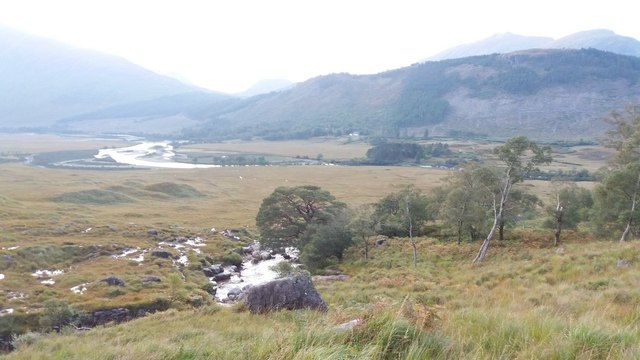
Path on east side of Allt Mheuran
With the River Etive in the distance.
 Map © Crown Copyright")
TIP: Click the map for more Large scale mapping
- Grid Square
- NN1445, 5 images (more nearby 🔍)
- Photographer
- Stephen Sweeney (more nearby)
- Date Taken
- Monday, 25 September, 2017 (more nearby)
- Submitted
- Saturday, 7 October, 2017
- Subject Location
-
OSGB36:
 NN 140 455 [100m precision]
WGS84: 56:33.9199N 5:1.6638W - Camera Location
-
OSGB36: NN 141 455
- View Direction
- West-northwest (about 292 degrees)