2013
SU1326 : Below Dogdean Farm
taken 11 years ago, near to Homington, Wiltshire, England
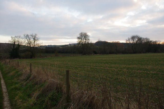
Below Dogdean Farm
Looking across the fields towards the Ebble.
 Map © Crown Copyright")
TIP: Click the map for more Large scale mapping
- Grid Square
- SU1326, 20 images (more nearby 🔍)
- Photographer
- Jon Alexander (more nearby)
- Date Taken
- Saturday, 2 March, 2013 (more nearby)
- Submitted
- Friday, 20 October, 2017
- Subject Location
-
OSGB36:
 SU 1352 2667 [10m precision]
WGS84: 51:2.3538N 1:48.5125W - Camera Location
-
OSGB36: SU 1355 2679
- View Direction
- South-southwest (about 202 degrees)