2014
SK1260 : Hartington from public footpath
taken 10 years ago, near to Hartington, Derbyshire, England
This is 1 of 24 images, with title starting with Hartington in this square
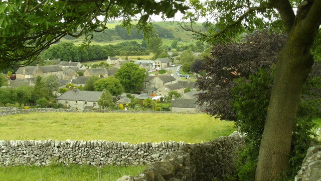
Hartington from public footpath
Looking down at Hartington, with the village green and pond just visible.
 Map © Crown Copyright")
TIP: Click the map for more Large scale mapping
- Grid Square
- SK1260, 240 images (more nearby 🔍)
- Photographer
- Paul Evans (more nearby)
- Date Taken
- Sunday, 6 July, 2014 (more nearby)
- Submitted
- Thursday, 26 October, 2017
- Subject Location
-
OSGB36:
 SK 128 604 [100m precision]
WGS84: 53:8.4467N 1:48.5974W - Camera Location
-
OSGB36: SK 128 603
- View Direction
- North-northwest (about 337 degrees)