L6558 : The road from Derrylahan to Crockaunroe
taken 6 years ago, near to Moyard, Co Galway, Ireland
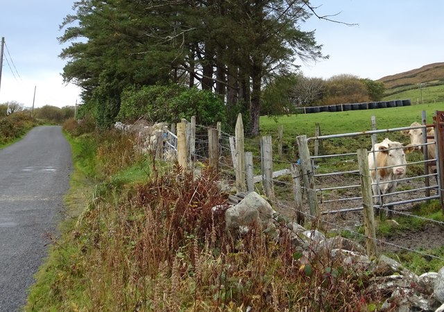
The road from Derrylahan to Crockaunroe
Noisy cattle greet a lone photographer on an otherwise very quiet Sunday morning.
![Creative Commons Licence [Some Rights Reserved]](https://s1.geograph.org.uk/img/somerights20.gif)
|
· Find out How to reuse this image ·
Share:
|
|||||
| Start a discussion on L6558 | Suggest an update to this image | Contact the contributor | |||
Loading map... (JavaScript required)
- Grid Square
- L6558, 2 images (more nearby
 )
)
- Photographer
- David Sands (find more nearby)
- Date Taken
- Sunday, 29 October, 2017 (more nearby)
- Submitted
- Tuesday, 7 November, 2017
- Geographical Context
- Primary Subject of Photo
- Subject Location
-
Irish:
 L 656 582 [100m precision]
WGS84: 53:33.4449N 10:1.6874W - Camera Location
-
Irish: L 657 582
- View Direction
- WEST (about 270 degrees)
This page has been viewed about 42 times.
View this location:
KML (Google Earth) ·
Google Maps ·
Bing Maps ·
Geograph Coverage Map ·
More Links for this image
·
Bing Maps ·
Geograph Coverage Map ·
More Links for this image