O2215 : Track to Stilebawn from Ballyorney
taken 6 years ago, near to Enniskerry, Co Wicklow, Ireland
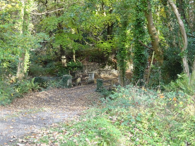
Track to Stilebawn from Ballyorney
Dropping downhill from the R760 road, the track to Stilebawn crosses a bridge over the Killough stream.
![Creative Commons Licence [Some Rights Reserved]](https://s1.geograph.org.uk/img/somerights20.gif)
|
· Find out How to reuse this image ·
Share:
|
|||||
| Start a discussion on O2215 | Suggest an update to this image | Contact the contributor | |||
Loading map... (JavaScript required)
- Grid Square
- O2215, 2 images (more nearby
 )
)
- Photographer
- David Sands (find more nearby)
- Date Taken
- Saturday, 4 November, 2017 (more nearby)
- Submitted
- Wednesday, 8 November, 2017
- Geographical Context
- Primary Subject of Photo
- Subject Location
-
Irish:
 O 220 155 [100m precision]
WGS84: 53:10.6071N 6:10.5109W - Camera Location
-
Irish: O 220 155
- View Direction
- North-northeast (about 22 degrees)
This page has been viewed about 43 times.
View this location:
KML (Google Earth) ·
Google Maps ·
Bing Maps ·
Geograph Coverage Map ·
More Links for this image
·
Bing Maps ·
Geograph Coverage Map ·
More Links for this image