2017
ST4634 : The levels south of Walton Hill
taken 6 years ago, near to Walton, Somerset, England
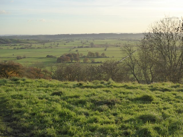
The levels south of Walton Hill
 Map © Crown Copyright")
TIP: Click the map for more Large scale mapping
- Grid Square
- ST4634, 26 images (more nearby 🔍)
- Photographer
- David Smith (more nearby)
- Date Taken
- Friday, 17 November, 2017 (more nearby)
- Submitted
- Wednesday, 22 November, 2017
- Subject Location
-
OSGB36:
 ST 4635 3461 [10m precision]
WGS84: 51:6.4957N 2:46.0633W - Camera Location
-
OSGB36: ST 4659 3507
- View Direction
- South-southwest (about 202 degrees)