2017
SD7455 : Barn, Bottom Laithe
taken 6 years ago, 3 km from Tosside, North Yorkshire, England
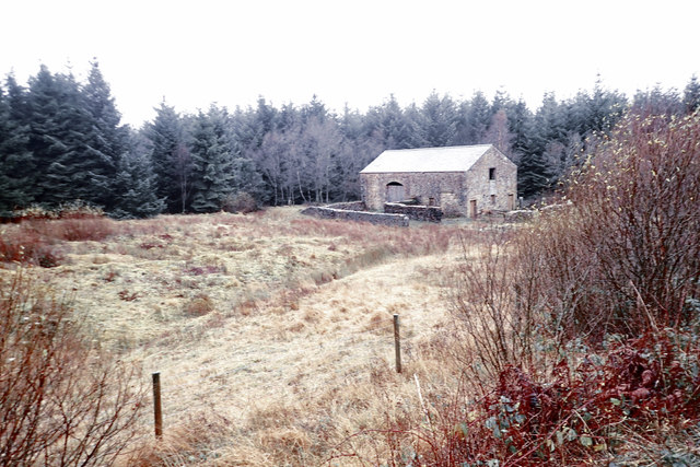
Barn, Bottom Laithe
 Map © Crown Copyright")
TIP: Click the map for more Large scale mapping
- Grid Square
- SD7455, 22 images (more nearby 🔍)
- Photographer
- Mick Garratt (more nearby)
- Date Taken
- Monday, 20 November, 2017 (more nearby)
- Submitted
- Saturday, 25 November, 2017
- Subject Location
-
OSGB36:
 SD 7413 5549 [10m precision]
WGS84: 53:59.6877N 2:23.7656W - Camera Location
-
OSGB36: SD 7418 5549
- View Direction
- WEST (about 270 degrees)