H8290 : Boveagh Townland
taken 17 years ago, 3 km from Desertmartin, Co Londonderry, Northern Ireland
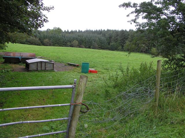
Boveagh Townland
In the background is Inishcarn Forest
![Creative Commons Licence [Some Rights Reserved]](https://s1.geograph.org.uk/img/somerights20.gif)
|
· Find out How to reuse this image ·
Share:
|
|||||
| Start a discussion on H8290 | Suggest an update to this image | Contact the contributor | |||
Loading map... (JavaScript required)
- Grid Square
- H8290 (more nearby
 )
)
- Photographer
- Kenneth Allen (find more nearby)
- Date Taken
- Wednesday, 19 September, 2007 (more nearby)
- Submitted
- Thursday, 20 September, 2007
- Category
- Countryside (more nearby)
- Subject Location
-
Irish:
 H 828 901 [100m precision]
WGS84: 54:45.1218N 6:42.8885W - Camera Location
-
Irish: H 829 900
- View Direction
- Northwest (about 315 degrees)
This page has been viewed about 59 times.
View this location:
KML (Google Earth) ·
Google Maps ·
Bing Maps ·
Geograph Coverage Map ·
More Links for this image
·
Bing Maps ·
Geograph Coverage Map ·
More Links for this image