2017
NX9993 : Forest of Ae from the air
taken 7 years ago, 5 km NNE of Ae, Dumfries And Galloway, Scotland
This is 1 of 3 images, with title Forest of Ae from the air in this square
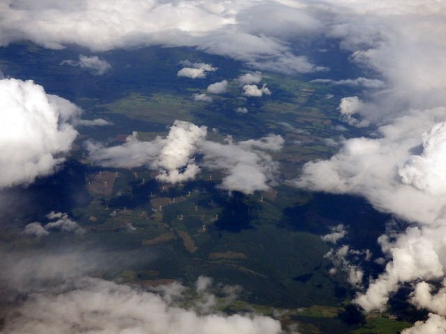
Forest of Ae from the air
Dominated by the 68 turbines of Harestanes wind farm.
 Map © Crown Copyright")
TIP: Click the map for more Large scale mapping
- Grid Square
- NX9993, 8 images (more nearby 🔍)
- Photographer
- Thomas Nugent (more nearby)
- Date Taken
- Monday, 7 August, 2017 (more nearby)
- Submitted
- Thursday, 30 November, 2017
- Subject Location
-
OSGB36:
 NX 99 93 [1000m precision]
WGS84: 55:13.5272N 3:34.8914W - View Direction
- EAST (about 90 degrees)