2017
NJ8029 : Lane from Hillhead of Lightnot
taken 6 years ago, near to Greenspot, Aberdeenshire, Scotland
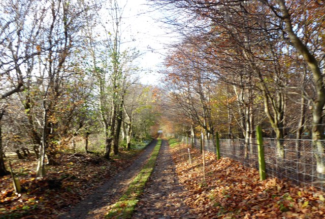
Lane from Hillhead of Lightnot
Downhill to the junction with A947.
 Map © Crown Copyright")
TIP: Click the map for more Large scale mapping
- Grid Square
- NJ8029, 12 images (more nearby 🔍)
- Photographer
- Stanley Howe (more nearby)
- Date Taken
- Friday, 24 November, 2017 (more nearby)
- Submitted
- Saturday, 2 December, 2017
- Subject Location
-
OSGB36:
 NJ 8019 2999 [10m precision]
WGS84: 57:21.5973N 2:19.8555W - Camera Location
-
OSGB36: NJ 8029 2999
- View Direction
- WEST (about 270 degrees)