2017
SU5042 : The A303 near Micheldever Station
taken 6 years ago, 4 km NNE of Stoke Charity, Hampshire, England
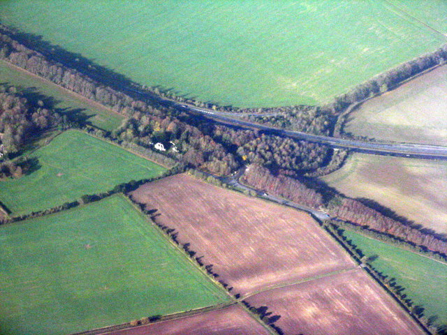
The A303 near Micheldever Station
Slip roads giving access to minor roads and Andover Road, at lower right.
 Map © Crown Copyright")
TIP: Click the map for more Large scale mapping
- Grid Square
- SU5042, 61 images (more nearby 🔍)
- Photographer
- M J Richardson (more nearby)
- Date Taken
- Thursday, 23 November, 2017 (more nearby)
- Submitted
- Monday, 4 December, 2017
- Subject Location
-
OSGB36:
 SU 506 427 [100m precision]
WGS84: 51:10.8780N 1:16.6478W - Camera Location
-
OSGB36: SU 550 410
- View Direction
- West-northwest (about 292 degrees)