2017
SP5685 : Path to Gilmorton and Kimcote
taken 6 years ago, near to Walcote, Leicestershire, England
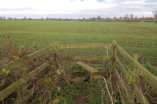
Path to Gilmorton and Kimcote
Having crossed the stile the path splits somewhere in the middle of this field. Without the aid of a GPS device it would be very hard to determine exactly where, however.
 Map © Crown Copyright")
TIP: Click the map for more Large scale mapping
- Grid Square
- SP5685, 4 images (more nearby 🔍)
- Photographer
- Stephen McKay (more nearby)
- Date Taken
- Thursday, 30 November, 2017 (more nearby)
- Submitted
- Tuesday, 5 December, 2017
- Subject Location
-
OSGB36:
 SP 5632 8570 [10m precision]
WGS84: 52:27.9807N 1:10.3450W - Camera Location
-
OSGB36: SP 5629 8567
- View Direction
- Northeast (about 45 degrees)