2017
NT6939 : Arable farmland by Sweethope Hill
taken 6 years ago, near to Hume, Scottish Borders, Scotland
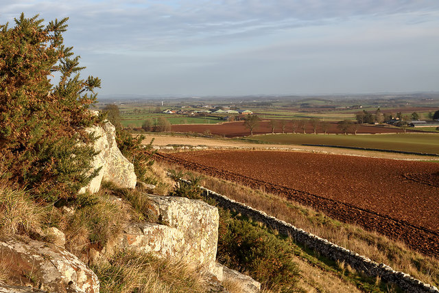
Arable farmland by Sweethope Hill
Legars Farm is in the central distance.
 Map © Crown Copyright")
TIP: Click the map for more Large scale mapping
- Grid Square
- NT6939, 32 images (more nearby 🔍)
- Photographer
- Walter Baxter (more nearby)
- Date Taken
- Sunday, 3 December, 2017 (more nearby)
- Submitted
- Wednesday, 6 December, 2017
- Subject Location
-
OSGB36:
 NT 6985 3960 [10m precision]
WGS84: 55:38.9397N 2:28.8384W - Camera Location
-
OSGB36: NT 6970 3955
- View Direction
- East-northeast (about 67 degrees)