J3673 : Nos 179-181 Beersbridge Road, Belfast (December 2017)
taken 6 years ago, near to Belfast, Co Antrim, Northern Ireland
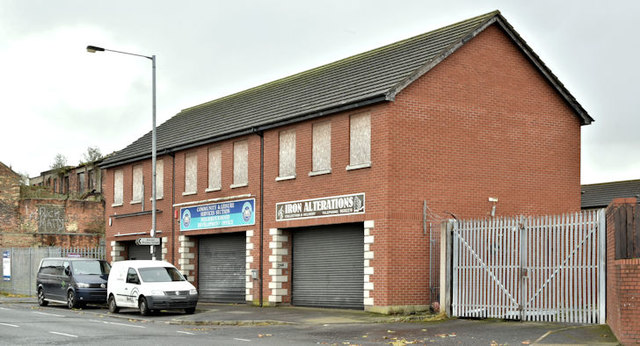
Nos 179-181 Beersbridge Road, Belfast (December 2017)
Three vacant properties which had the following planning permission (23 September 2009) Z/2008/0014/F 18 No. Apartments, car parking, and associated site works. 179/181 Beersbridge Road, Ballymacarret, Belfast, BT05 4RR. The site of nos 183-191 J3673 : Nos 183-191 Beersbridge Road, Belfast (December 2017) is on the left.
![Creative Commons Licence [Some Rights Reserved]](https://s1.geograph.org.uk/img/somerights20.gif)
|
· Find out How to reuse this image ·
Share:
|
|||||
| Start a discussion on J3673 | Suggest an update to this image | Contact the contributor | |||
Loading map... (JavaScript required)
- Grid Square
- J3673, 309 images (more nearby
 )
)
- Photographer
- Albert Bridge (find more nearby)
- Date Taken
- Thursday, 7 December, 2017 (more nearby)
- Submitted
- Thursday, 7 December, 2017
- Geographical Context
- Place (from Tags)
- Subject Location
-
Irish:
 J 360 735 [100m precision]
WGS84: 54:35.5136N 5:53.7971W - Camera Location
-
Irish: J 359 735
- View Direction
- Southeast (about 135 degrees)
Other Tags
Image Type (about):
cross grid
This page has been viewed about 80 times.
View this location:
KML (Google Earth) ·
Google Maps ·
Bing Maps ·
Geograph Coverage Map ·
More Links for this image
·
Bing Maps ·
Geograph Coverage Map ·
More Links for this image