2017
SN7377 : Path leading down from the railway foot crossing at Tynycastell
taken 6 years ago, near to Devil's Bridge, Ceredigion/Sir Ceredigion, Wales
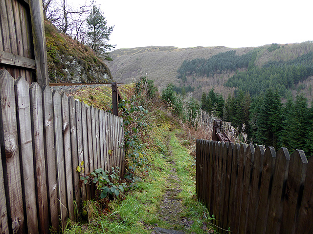
Path leading down from the railway foot crossing at Tynycastell
Beside the Vale of Rheidol Railway.
 Map © Crown Copyright")
TIP: Click the map for more Large scale mapping
- Grid Square
- SN7377, 659 images (more nearby 🔍)
- Photographer
- John Lucas (more nearby)
- Date Taken
- Thursday, 7 December, 2017 (more nearby)
- Submitted
- Friday, 8 December, 2017
- Subject Location
-
OSGB36:
 SN 7315 7764 [10m precision]
WGS84: 52:22.9235N 3:51.9075W - Camera Location
-
OSGB36: SN 73157 77627
- View Direction
- NORTH (about 0 degrees)